Start/Finish: Bridge House, Ambleside
Distance: 9.8 miles
Ascent: 640m (2100')
Time Taken: 7 hours
Companion(s): Lynne
Route Map:

Today saw me embarking on three firsts:
My first Lake District walk
My first Wainwright
My first WalkingForum meet-up
Not bad going for one day out! :-)
The weather forecast was set to be wet and miserable but, with these three firsts as my target to be accomplished, I really didn't mind. Although, I must admit to being a little hopeful that the forecasters had got it wrong again.
Set off from home at 6am for the long drive to Ambleside. I had decided to take the route via the A69, A686, A592 and A591 as this was deemed by the route planners to be the shortest and the quickest. However, they didn't take into account my cautious driving speeds on unknown winding roads and it took me just over 3 hours to get to my destination. Nevertheless, the journey was enjoyable and the weather wasn't too bad until I hit Kirkstone Pass. This was when I realised just how wet and viewless the day was likely to be!
The drive down past Ullswater, passing through Glenridding and Patterdale, was absolutely wonderful. I had to pull over twice just to look at the views and say 'Wow'! The weather was fairly clear here and the scenery was just amazing. Of course, I wish I had taken some photos of these views but, unfortunately, I didn't think of this at the time and I had to press on to get to the walk meeting point on time. So now I'll just have to go back again, won't I? :-)
Anyway, back on the road, I crossed Kirkstone Pass and headed down to Windermere [this was a slight detour from the plan as I missed the turn off to Ambleside!] and then turned right to head up the A591 to finally reach my destination. I parked in Low Fold car park and called Lynne to let her know that I had arrived. As luck would have it, Lynne was only a few hundred yards away so I hadn't even managed to put my parking money in the meter, when she came around the corner to find me. [Remember to take plenty pound coins with you when visiting the Lakes - £7.00 for 10 hours parking!]
So, Lynne and I introduced ourselves whilst I got geared up and then we headed over to Bridge House to see if anyone else from the Forum had turned up to walk with us. As expected though, there was no-one else to be seen. We waited a few minutes and then my first Lake District walk began :-) Oh I almost forgot, I did mention that it was raining didn't I?
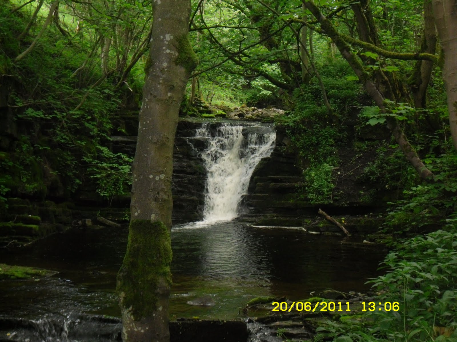
Unfortunately, the camera didn't come out very much on this walk and the ones I did take don't really do the scenery justice but, I'll include them anyway just to remind me of the possibilities for the wonderful views I will see in the future - on a clear day.
We walked through Ambleside to join the path through Rothay Park and then headed up a rather steep road and path to Brown Head Farm. From here we continued to climb onto Loughrigg Fell. Lynne was hoping to find the path which would lead us to Lily Tarn but, there are so many paths on this fell that it is very difficult to tell which path leads where and, although, we did try quite a few different paths, we never did find Lily Tarn. Another one for another day - next time I will find it!
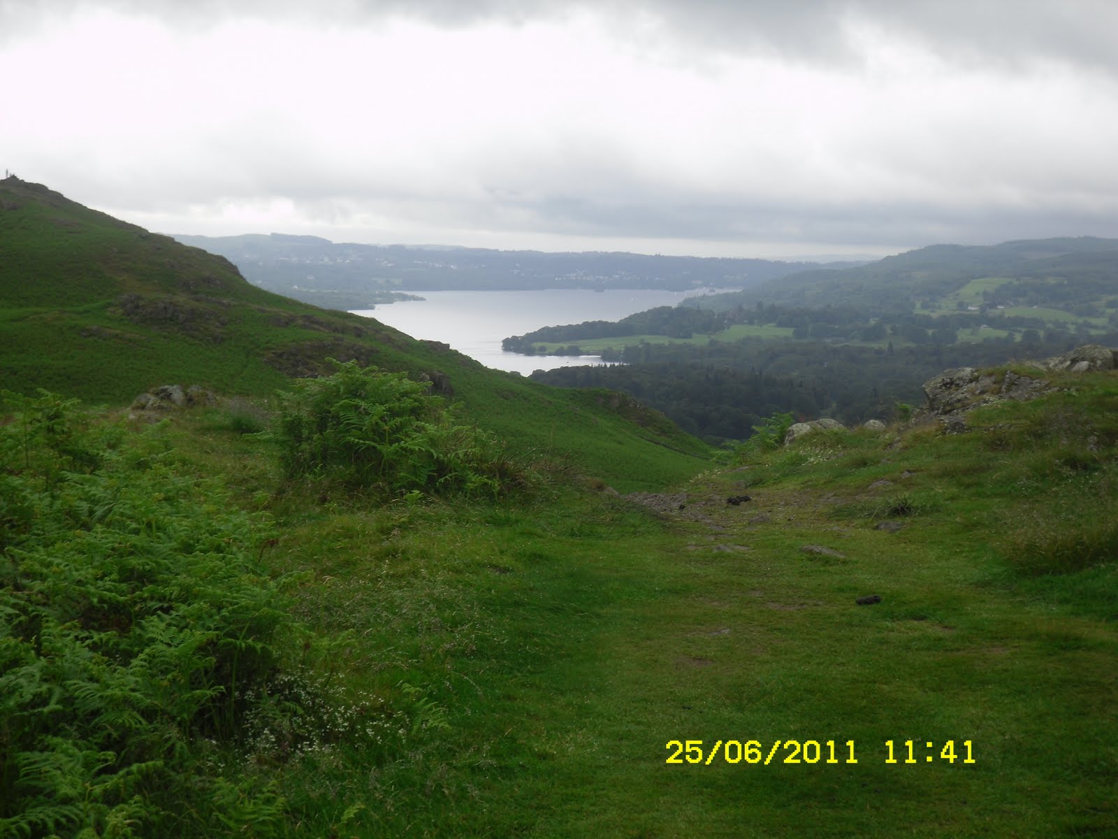
Whilst searching for the Tarn, I took a photo looking back down to Ambleside

We gave up on our search for the Tarn and headed westerly towards Todd Crag. I took another couple of photos on the way (unfortunately, I can't remember if I was looking north, south, east or west in the next couple of pics - sorry - answers on a postcard please lol)


I should add that the terrain on this part of the walk was a bit boggy but nothing like the peat bogs of the Cheviots so nothing too difficult to navigate. I just tended to sort of plodge through it all :-)
We made it to Todd Crag, which was a little detour from our planned path but the views were worth it. The first shot looks down to Loughrigg Tarn I think and the second looks back to Windermere, I think!


The couple of photos were taken whilst heading up past Ivy Crag and Lad Crag towards Loughrigg's trig point.

The uphill sections of the paths began to get quite a bit more rocky on this part of the walk but I thought I was managing quite well - even if I was a bit slow! I think the next photo was taken whilst I was admiring the view in an easterly direction.

Eventually, we made it to the trig point but I'm afraid I didn't get a pic of this as there was a large group of youngsters up there and it looked quite busy. In fact, from here on, our route got quite busy. I think there must be quite a lot of people who head from Grasmere, up to the trig point, and then simply head back down again. Not my idea of a good walk but, in today's weather conditions it may have been as good an idea as any lol :-)
We continued on our way from here and, the descent began! At first this gave me quite a pleasant feeling - after all the ups, acrosses and yet more ups, down and ups, on increasingly troubling rocky paths - my original thought was, 'well at least it will be all downhill from here'. Just goes to show you how naive I am :-) For some strange reason, I was expecting the descent route to be a bit rocky at first but, that it would then turn into a nice, reasonably gentle descent down a (possibly grassy) path. Even though I didn't have a copy of the route beforehand, if I had studied the map in a bit more detail, I may have been a little better prepared for the fact that the word 'gentle' doesn't even come close to describing the route down from Loughrigg Fell to Grasmere - at least, not in my eyes :-)
Anyway - back to the walk. The first part of the descent wasn't too bad and I took a couple of photos looking towards Grasmere.


However, I was then in for a shock. As I looked down the path from here, all I could see is what I would describe as a downhill, rocky scramble! Lynne headed off down in front of me showing me how easy it was and numerous other people [obviously with mountain goat blood in their veins] seemed to hop, skip and jump their way down as I just stood and contemplated - and panicked a bit :-(
At one point I really thought I was stuck up there but, as numerous others made it look like a walk in the park, I somehow managed to convince myself that there was no way I was going to let this beat me. I summoned up all my courage and off I went. I definitely had a few scary moments as I inched my way down this path but, I'm glad that I overcame my nervousness and didn't make too bad a fool of myself. I did find it scary and I did slip once or twice but I find that I'm learning new things on just about every walk that I do and this experience has just taught me that I need to pratice steep, rocky descents a bit more - quite a bit more if I want to keep up with everyone else lol.
Once I was safely down and could breath a bit easier, I realised that we were now on the easy part of the walk. From here, we simply followed the path and then the road into Grasmere - stopping for well earned refreshments on the way (at the Fairydell refreshment stop - name might not be quite right!?)
Now down at ground level, we began to feel the rain a bit more. It had been raining most of the day so far but it just seemed as though you were getting damp - not really rained on, if you know what I mean?! However, it still wasn't too bad and at least it wasn't cold and windy - it was actually quite warm. We had a bit of a lunch stop in Grasmere - maybe a bit late as I had been so slow! - before heading out to the Coffin Path as our route back to Ambleside.
Had I not been so slow, I think Lynne had a much more interesting route from Loughrigg to Grasmere planned out that would have avoided the road walk. I will have to apologise to her that I slowed her down so much and possibly made her miss out on a bit of walking that she was looking forward to completing.
I hope you aren't waiting for the photos of the route back from Grasmere, as I'm afraid the rain just got heavier from this point onwards and the camera didn't come out again. However, suffice to say that the walk on the Coffin Path, past Rydal, was very enjoyable and posed no difficulties - other than rain drops dripping off my hair [I'd given up with the hood at this point as I find it too restricting and, once you're wet, you're only going to dry out if the weather improves - and there was no prospect of that!] The route is low level and there are very picturesque scenes along the route which I'm sure would be evven more alluring in better weather.
Anyway, we made it back to Ambleside at about 4.30pm - just in time to have a well earned cup of tea in the cafe before I had to head back to my car and think about the drive home.
I did decide to change my driving route on the way home and hence took the A66 from Penrith to Scotch Corner and then joined the A1. Only took 2.5 hours to get home, even though I really had to slow down to minimum speed at times as you could hardly see a hand in front of you, so next time I'll use this route both ways.
And there will be a next time - and sooner, rather than later - I can't wait to get back to the Lakes to experience a bit more of the wonderful walks on offer in the area. I just need to save the pennies for the petrol and parking money :-)
End of the day and all 3 'firsts' ticked off - what a wonderful day :-)