Start/Finish: Patterdale Car Park
Distance: 11 miles
Time Taken: ~7.5 hours
Companion(s): Garytombom
Route Map:

Following just a few weeks of messaging on WF, today was to be my first meet-up with Gary. We had originally thought that our first meet would have to wait until early November due to other commitments but, as luck would have it, Gary managed to find a window in his busy schedule and he opted to invite me to join him on a walk - thanks Gary :-)
So a decision needed to be made on where we were going to walk and, as I was being particularly indecisive due to conflicting weather forecasts for the areas that are easily accessible to us both, Gary stepped in and made the decision for me. Destination - The Lakes, Area - Patterdale :-) The Route - a bit ambitious for me but, if the weather is OK then I might manage it lol!
OK, well the day dawned and as I set off from home the weather was fine and dry but it was still dark and still early as we had arranged to meet at 8am so that we could make the most of the shortening daylight hours. Of course, as I approached our designated meet-up point (Little Chef, Penrith, A66), the weather worsened and I began to wonder if our day was going to be affected by the poor weather. Anyway, Gary and I arrived at our meet point within minutes of each other and we quickly introduced ourselves before heading to find a lay-by in which to leave my car - to save on parking charges and a little bit of petrol too! :-)
Having parked up in Patterdale and got ourselves geared up and ready to go, we decided that we would set out on our high level route in the hope that the weather would improve by the time we had completed the initial climb. Unfortunately, this wasn't to be the case and I only managed to take one photo before we decided to abandon the high level route and descend as quickly as possible. This one was taken as we climbed up towards Birks on our way to St Sunday Crag.
Very disappointing, however, with the wind and rain in our faces and not even being able to see an outline of St Sunday Crag, I think we made a good decision to descend when we did. Of course, once we were down, out of the low cloud, it was no longer windy and we were no longer getting miserably wet. So, we returned to the car and had a rethink.
As it was still only about 11.30am and we had both travelled a long way to get here, neither of us wanted to give up on the day so we consulted the map and agreed that a low level walk would be our best option and, as luck would have it, I remembered reading someones post on the forum which said that the lakeside walk between Patterdale and Howtown was a good route. So, with my suggestion being accepted by Gary, we set off again.
Heading out of the car park for the second time - Gary having decided that no rucksack was required for a low level walk....

.....heading through Side Farm....


Looking across to Glenridding....

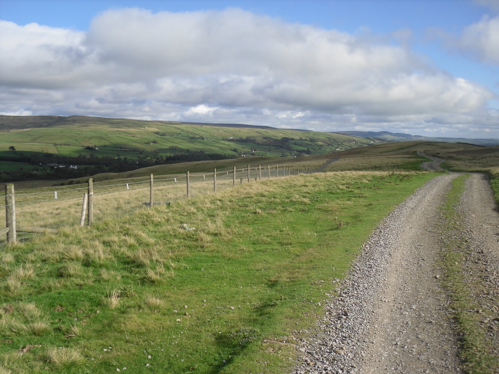
....and the path ahead....

...and a few views along the way.....

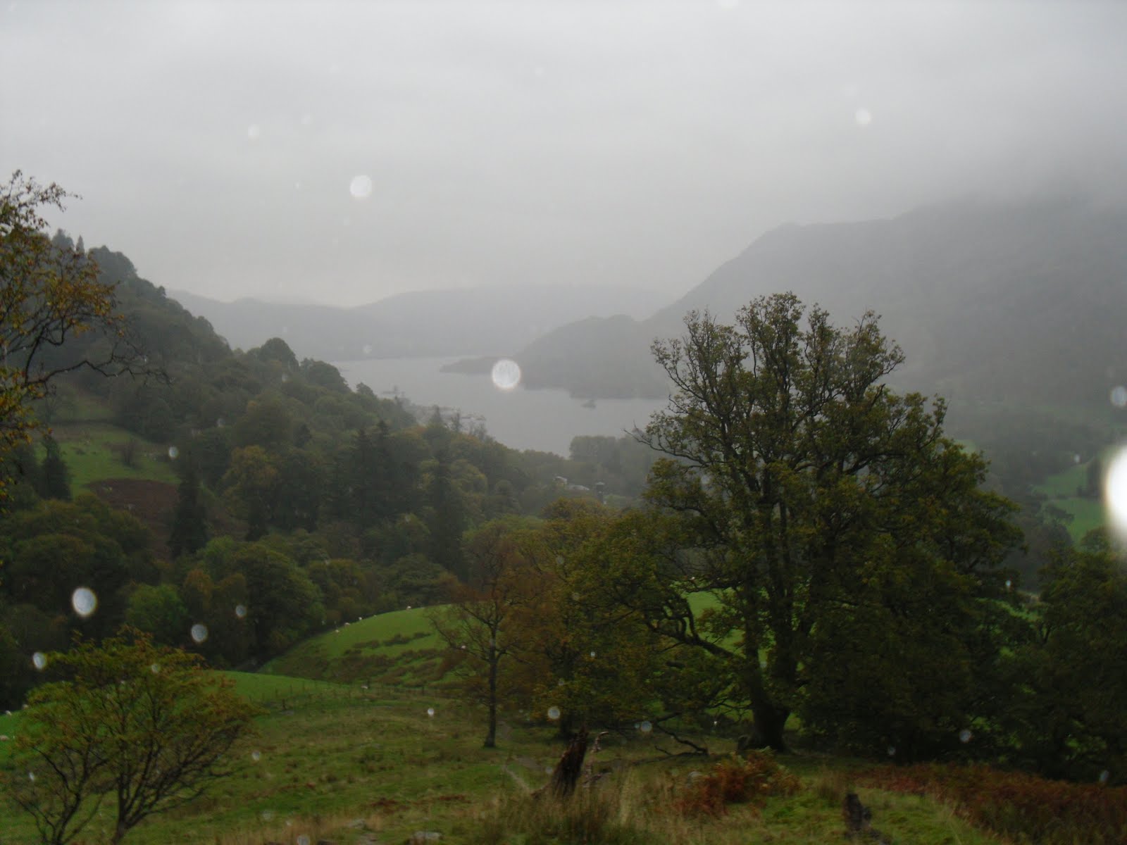
.....looking back across Ullswater.....


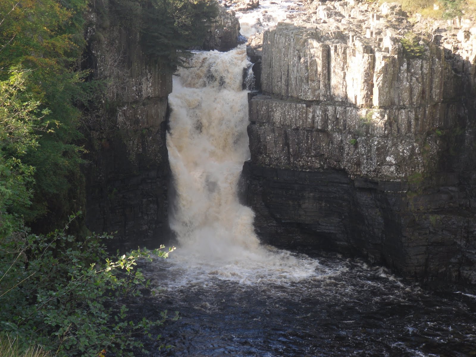
Scalehow Force waterfall....


As time was getting on, it was at this point that we decided we should have a short rest and then head back to the car. On a sunny day, this would be an ideal picnic area!


....and a couple of photos of the views on the way back....


....and all too soon, the day was over and we had to head home - well almost, we had to find my car again first :-)
Despite the weather and the fact that we had to abandon the high level route we had planned, I had a brilliant day out in great company and I hope that Gary enjoyed it too. The route from Patterdale to Howtown comes highly recommended by me as a rewarding low level walk and....having now seen Place Fell, Hallin Fell and a few others, I can't wait to return and complete some more walks on the fells in this area.
Gary - don't forget - Hallin Fell has our name on it :-) ...and thanks again for a wonderful day xx